
Cyprus Trails
Μονοπάτια Κύπρου
Every official hiking trail in Cyprus and the E4 path, offline in your pocket.
Submitted to Apple and waiting for review · public beta open now
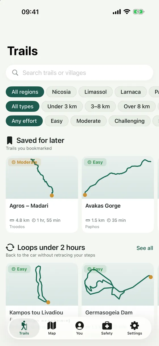
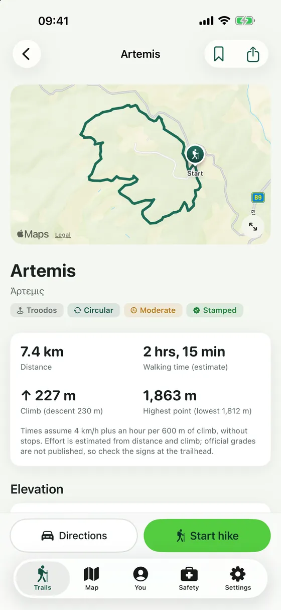
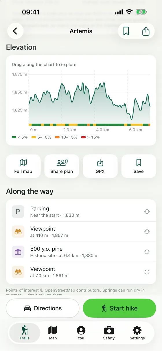
All 88 official nature trails and the E4, with maps, elevation profiles, trailhead weather, hike recording and stamps. Works without a signal.
What it does
Every official trail
88 nature trails and the Cyprus sections of the E4, from the Republic of Cyprus's open data.
Works offline
Every route and trail page is stored on your iPhone, so it works in the mountains with no signal.
Know before you go
Distance, climb, highest point, walking time and an elevation profile coloured by steepness.
Water and views
Springs, viewpoints, peaks, waterfalls, picnic sites and parking along each route.
Record and follow
Record your hike, follow a trail with time remaining, and get an alert if you wander off it.
Safety tools
One-tap calls to 112, 199 and the 1407 forest fire line, and share your exact position.
Where the information comes from
| Trails | data.gov.cy, Republic of Cyprus (CC BY 4.0) |
|---|---|
| Elevation | SRTM and EU-DEM terrain data |
| Places along the way | OpenStreetMap contributors (ODbL) |
| Weather | Apple Weather |
Privacy
No account, no ads, no analytics. Recorded hikes stay on your phone.
Details
- Price
- Free, no in-app purchases
- Works on
- iPhone and iPad
- Requires
- iOS 26.2 or later
- Languages
- English, Greek
- Category
- Travel
- Developer
- PRAESI Technologies Ltd
Under the hood
Native SwiftUI app with MapKit, WeatherKit and bundled route data built from the official KML.